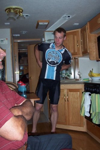
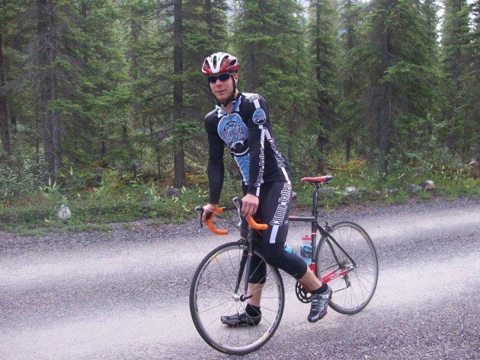
Today we should be covering about 100 km. This means a lot of
stuff to visit. Jérémy will be biking for about 40 km until he
is at the Columbia Icefield.
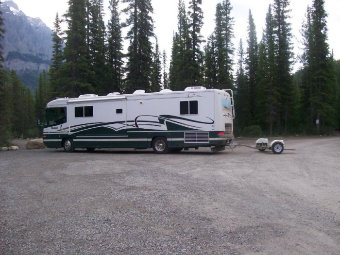
As I said, the campground has very narrow roads and sharp curves.
It is hard to turn around with the motorhome. We did not hook up the
car, so we could turn around.
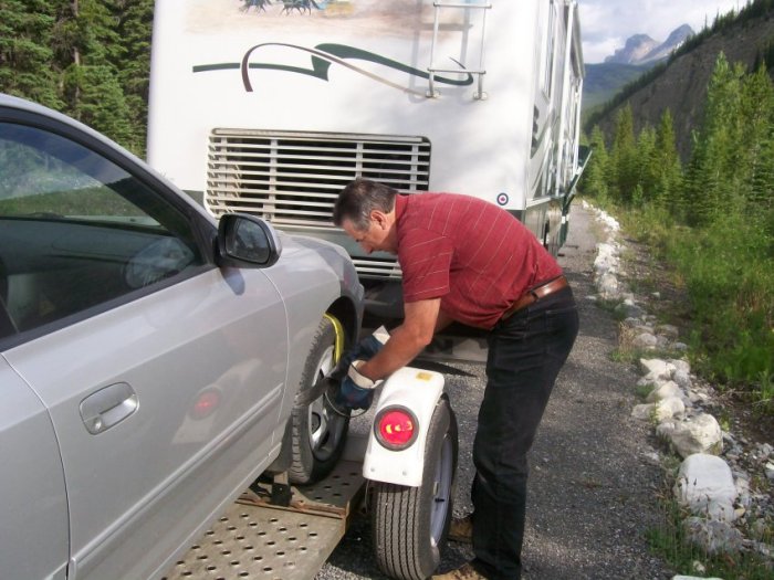
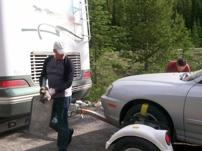
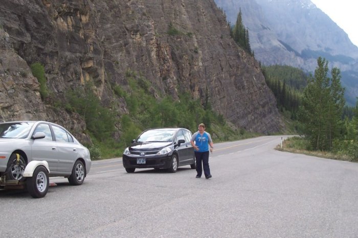
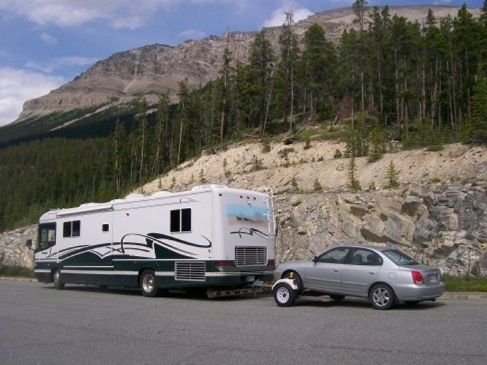
The car is back on the dolly.
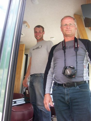
Robert and me make a great team at hooking up the car to the
dolly.
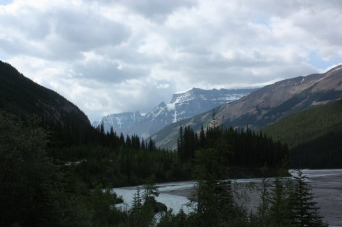
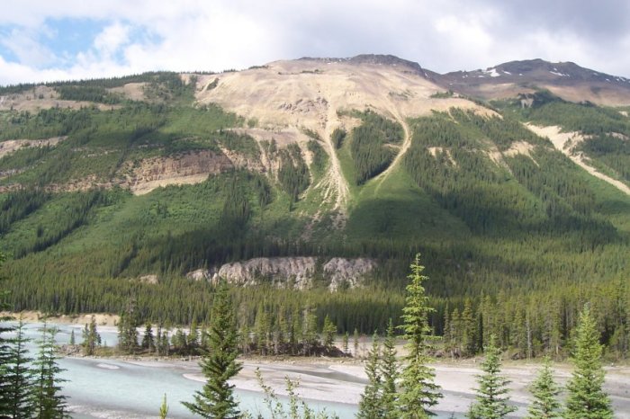
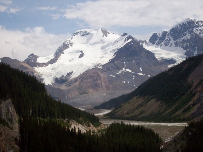
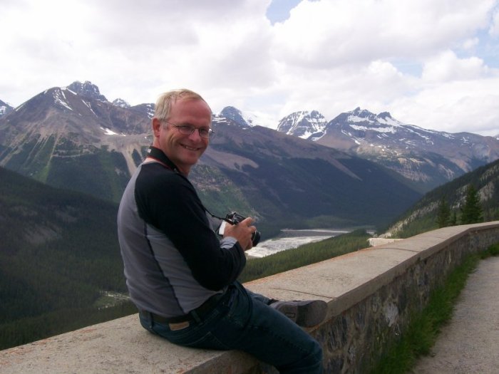
We are still driving north. We are following the North
Saskatchewan River.
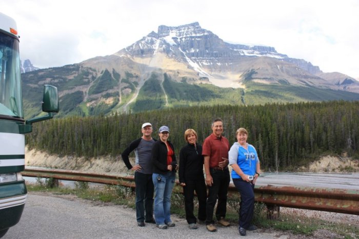
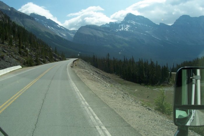
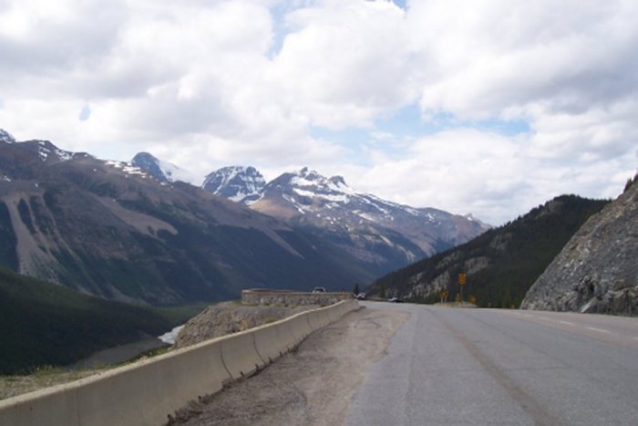
If you ever drive on the Icefield Parkway, try not to do it in
one day. You will be missing beautiful views by not stopping at
every pull-out.
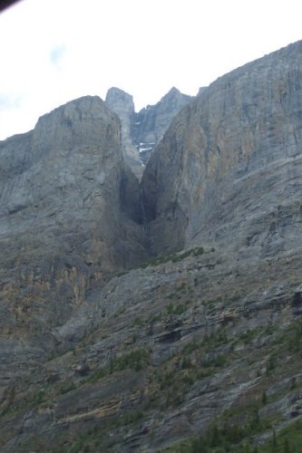
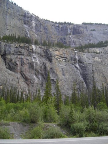
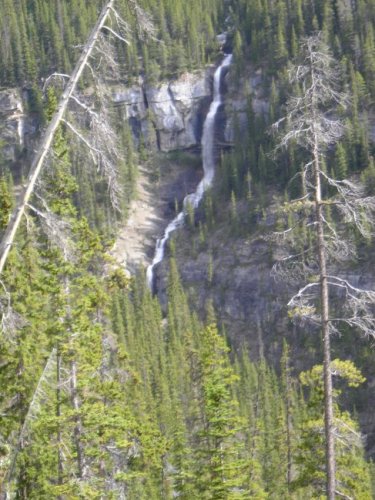
We cannot see where the water comes from, but I can just imagine the
snow up there. This is Weeping Wall falls. I must be very
nice in the spring.
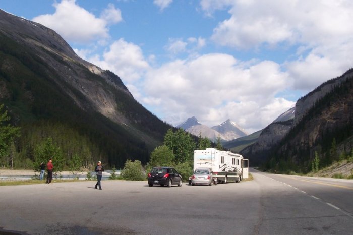
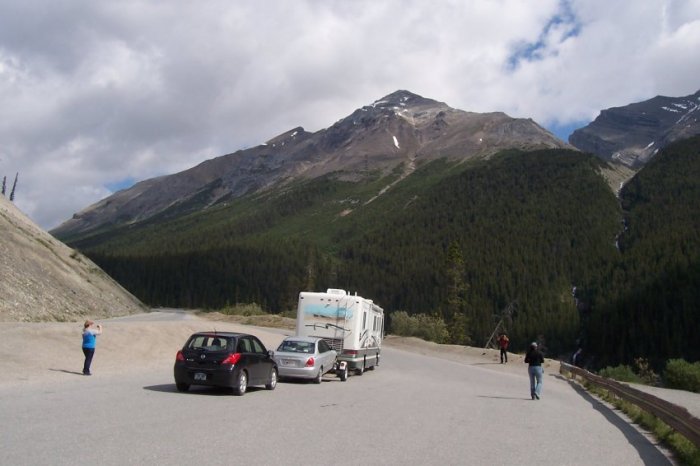
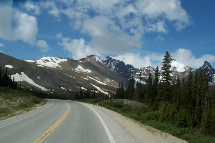
Our next stop is "The Big Curve". We have to cross the Sunwapta
pass to continue to Jasper. To do so, we must climb around 500
meters.
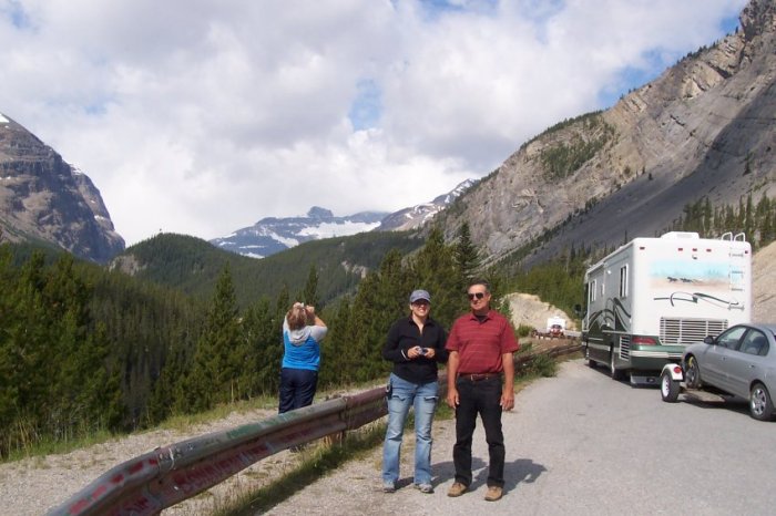
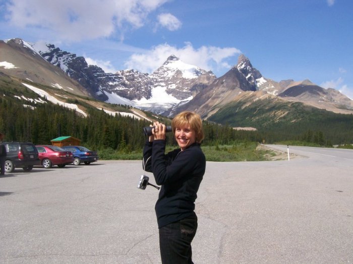
What a surprise! Nobody at the pull-out. Where are the
tourists?
From this pull-outs we can see the "Bridal Veil" falls.
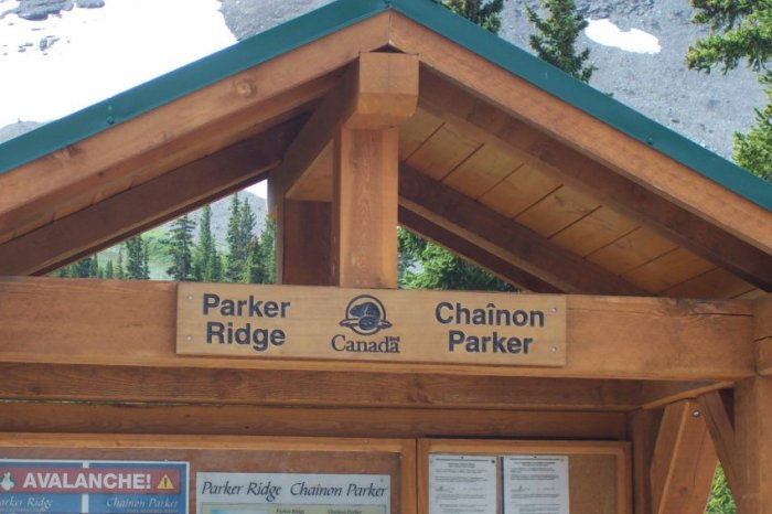
Getting to the top of Parker Ridge.
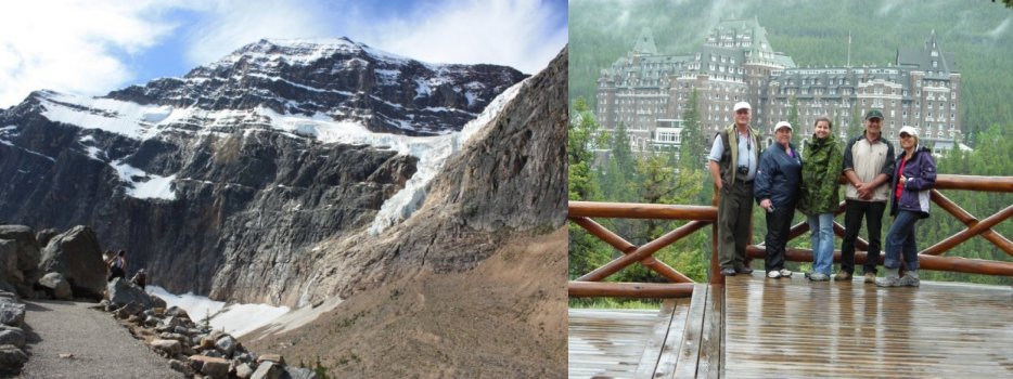
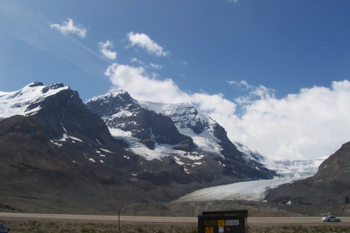
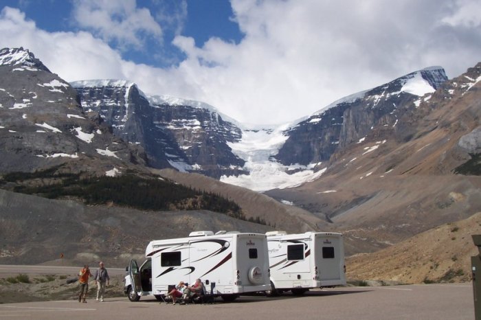
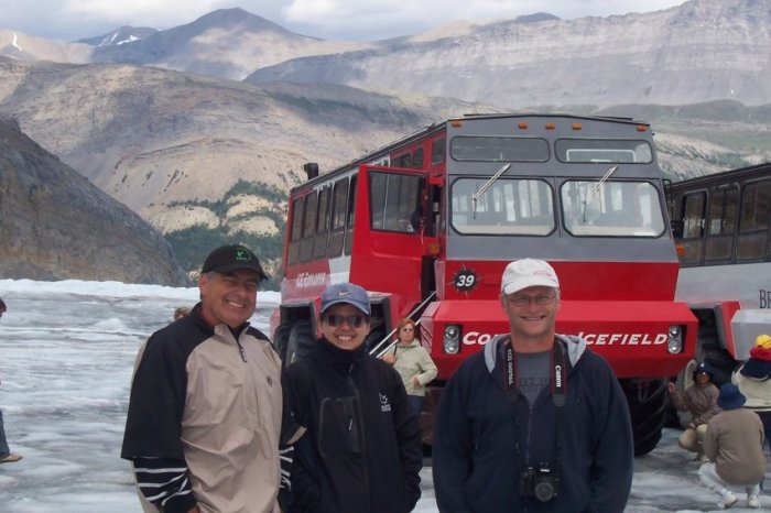
Here we are at the Columbia Icefield, which is more than 1,984 m above
sea level. The Columbia Icefield is over 325 square
kilometers. The glacier we see here is the Athabasca Glacier. The Columbia Icefield is one of the few icefields that
actually flows to three oceans. The Arctic, the Pacific and the
Atlantic oceans. The top of the icefield is called the "Snow
Dome" which it is at more than 3,459 m high.
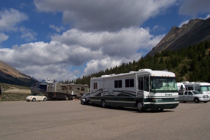
The parking lot is huge. It can safely park 30 or 40 big motorhomes.
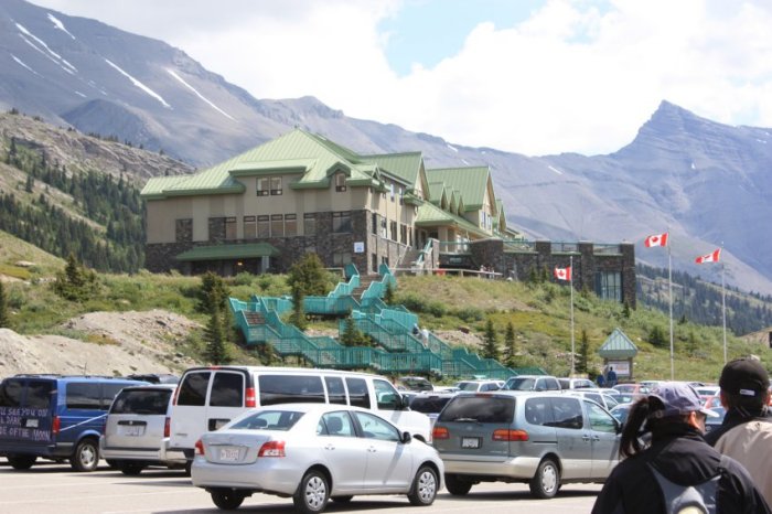
The Columbia Icefield information center. Really good information
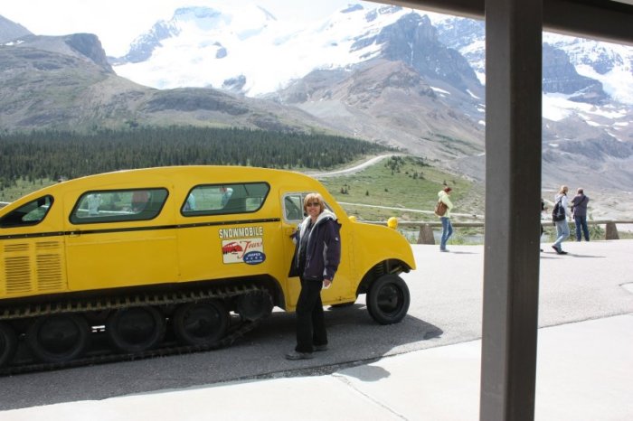
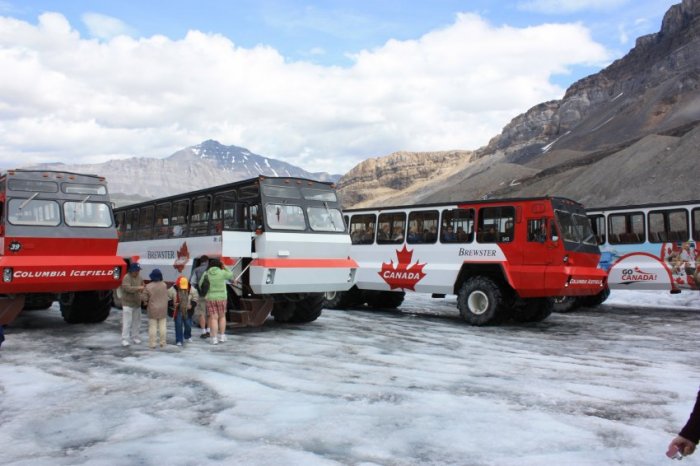
center. It is also the starting point if you want to go on the
snowcoach tour.
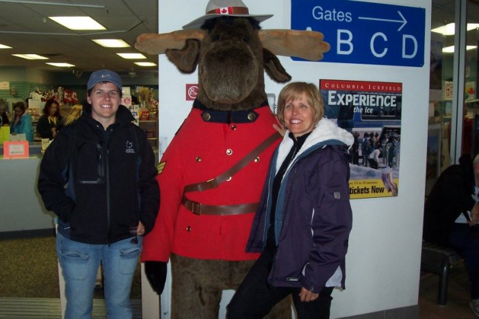
Marilyne
and Estelle with a big bear dressed in the RCMP uniform. Why the
RCMP uniform? For a lot of people across the world, the RCMP
uniform represents Canada, just like the windmills are to Holland.
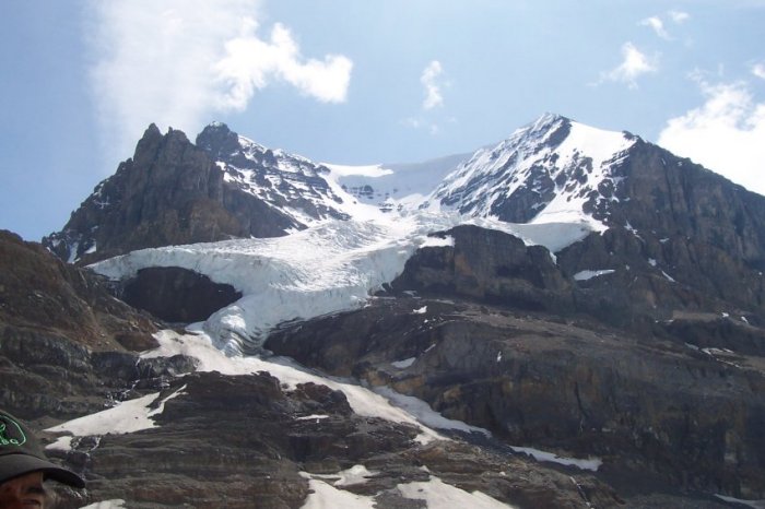
The Dome Glacier, one of the many glaciers on the Columbia Icefield.
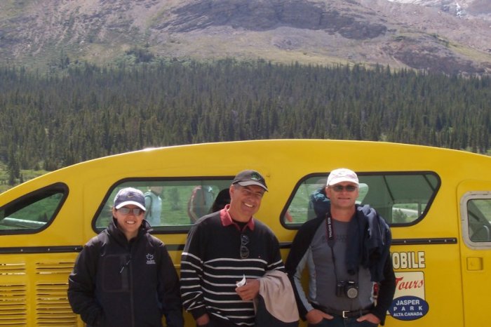
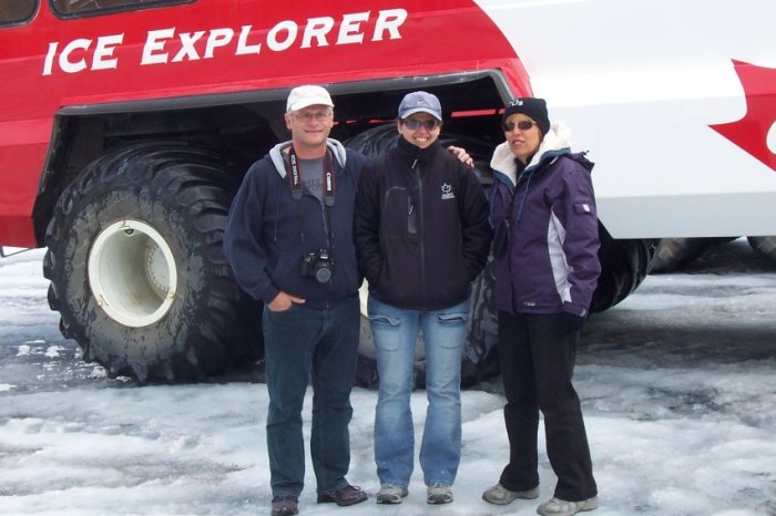
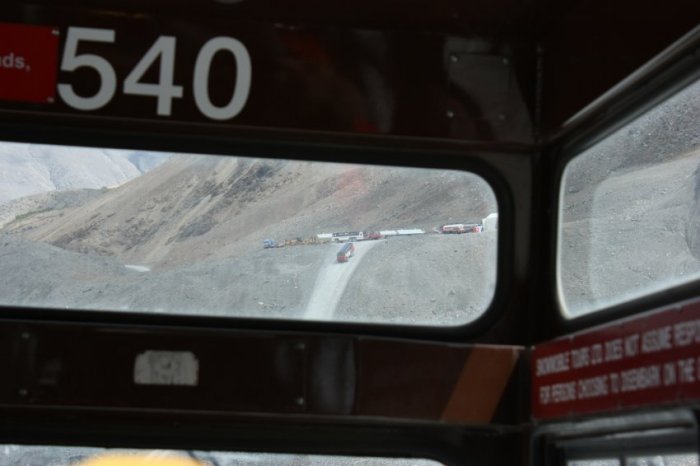
We are waiting to get on the snowcoach, but not this one!
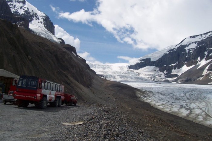
One of the snowcoach coming back from the glacier. Notice at the
bottom right-hand side of the photo, you can see two roads on the
ice. One is the old one. The other one is being used by the
snowcoach. Looking up at the glacier, about halfway up, you can
see something dark. This is the "parking lot" for the snowcoach.
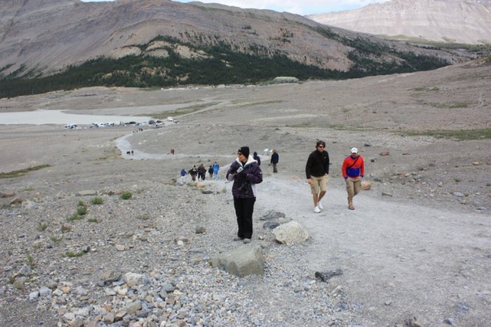
On our way to the Athabasca glacier.
The parking lot for all the snowcoach is a busy place. We can
walk around the ice, quite an experience. This is a cold place
and the water flowing by is very cold and very old. Some tourist
are just in flip flops?
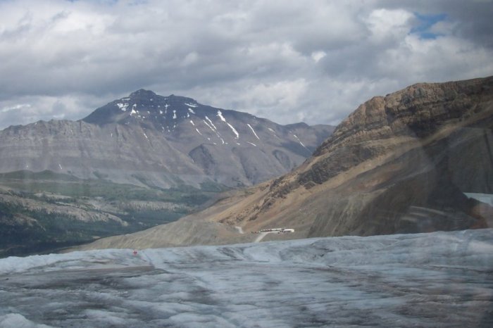
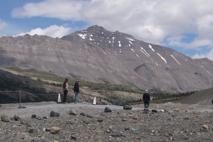
Andromeda at 3,443 m.
If you look closely, you can see the bus terminal up ahead. The
mountain on center-left is Mount Sunwapta at 3,317 m.
On our way back to the bus terminal.
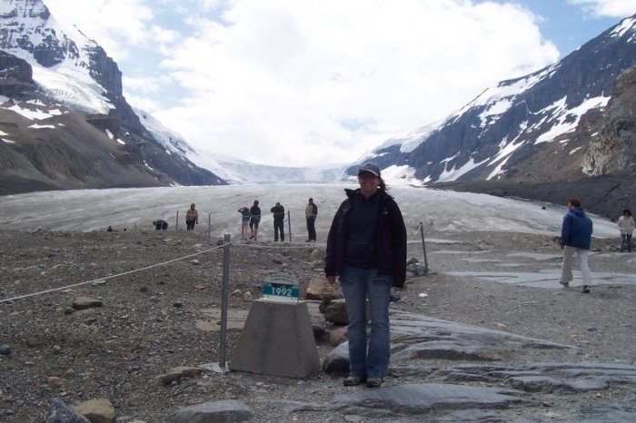
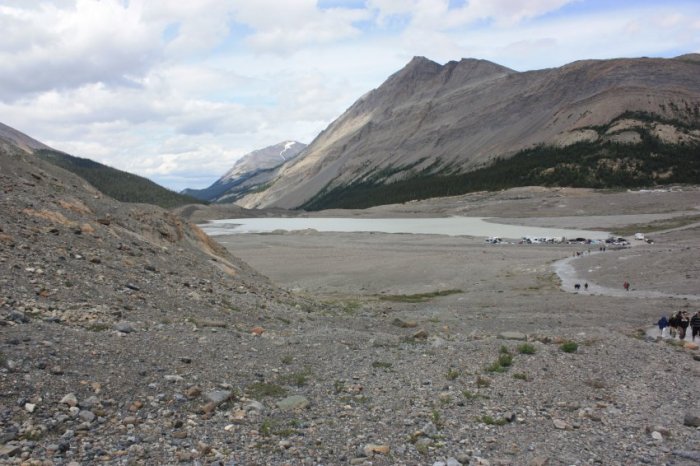
After being on the glacier, we have to check out the "Toe" of the
glacier. The Athabasca glacier has retreated quite a bite in the
last 20 years. All along the path, you have little placard with
the
years on them. This is where the glacier was during that time.
This little lake is the result of the melting of the glacier.
This is also the source of the Sunwapta River. This river will
eventually join the Athabasca River.
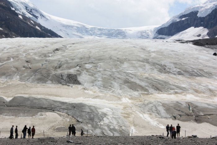
Here we are next to the Athabasca glacier toe. We cannot go on
the glacier because of the hidden crevasses. Very
impressive size.
The trail loops around, we are heading back to the motorhome.
Back on the road after the visit of the Athabasca Glacier and at the
next pull-out, we look back and we can see the Athabasca
mountain.
At the bottom of the mountain, you can also see some lateral moraine
from the Athabasca glacier from a long, long time ago.
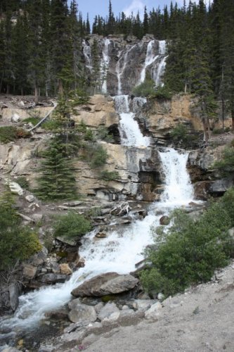
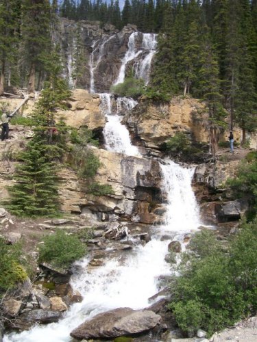
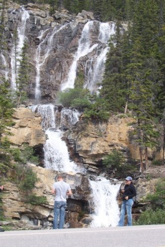
Tangle Falls.
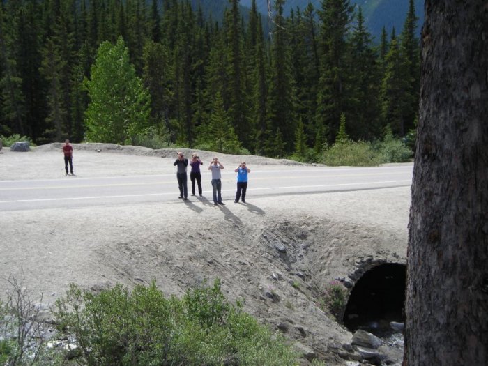
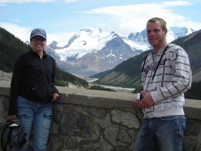
Can you see Marilyne?
She is in the middle on the right.
Here is what the falls see.
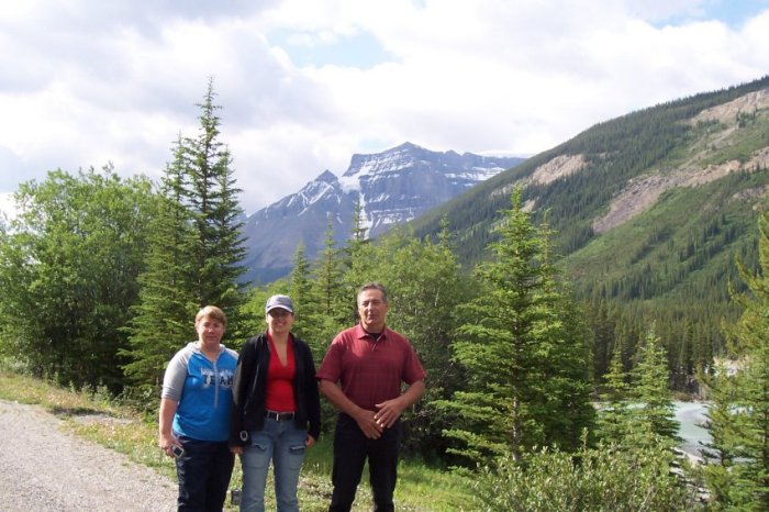
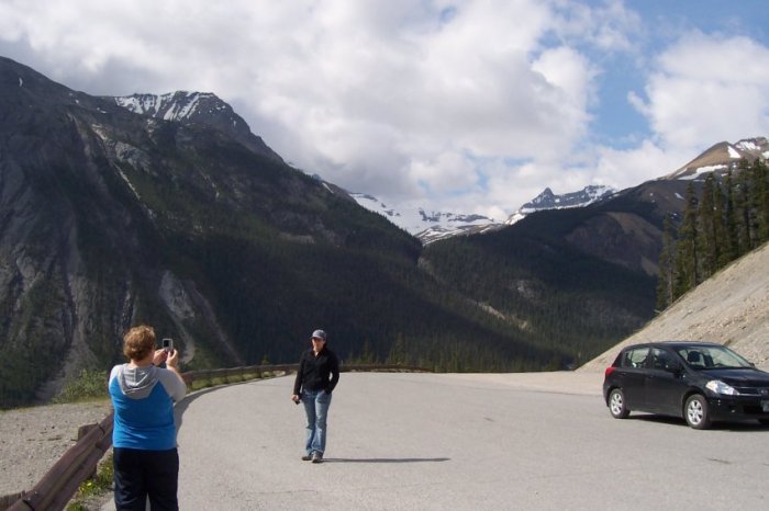
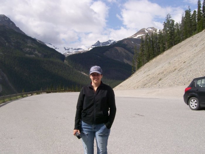
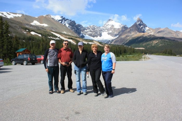
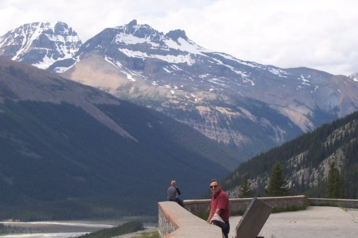
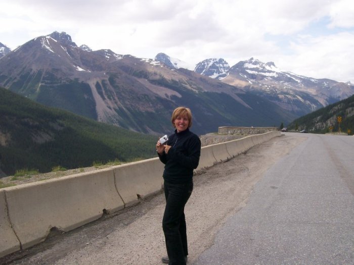
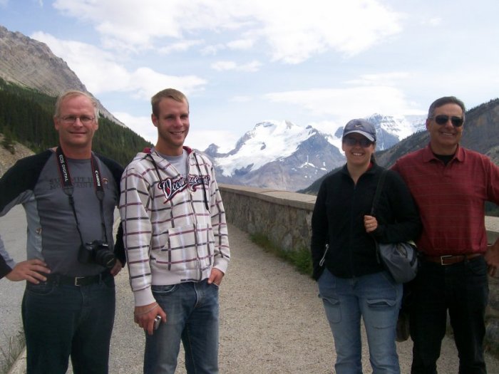
Our next stop is a very nice pull-out with an awesome view of the
valley.
Once again, very good photos with very good people.
Just like that!
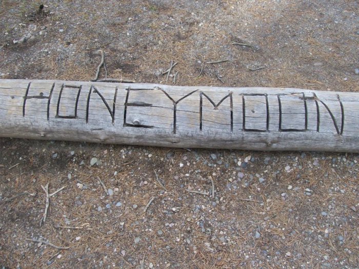
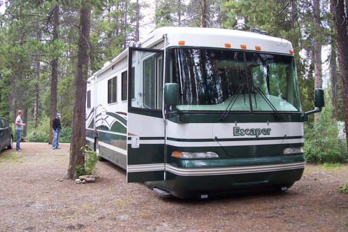
The end of the day is at the Honeymoon campground.
The last time we were here it was with Rolland and Suzie and our 24
foot motorhome. It was not a problem at the time, but now with a
40 foot motorhome it is not as easy as the last time, but we manage to
get in.
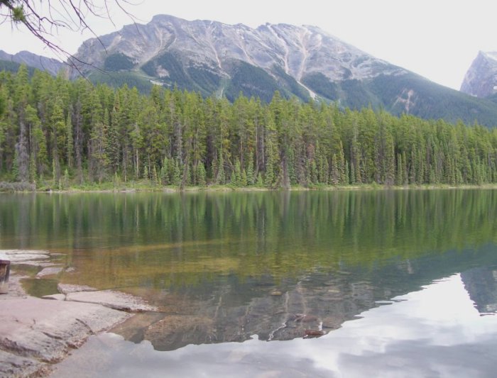
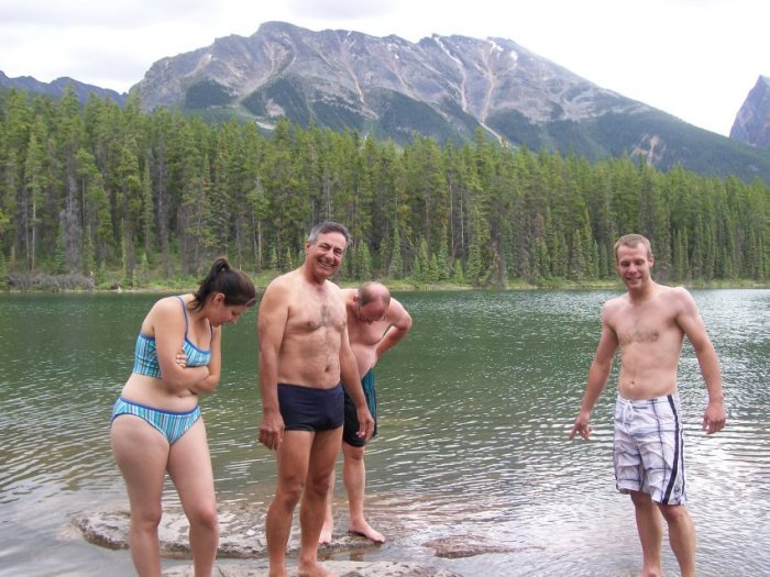
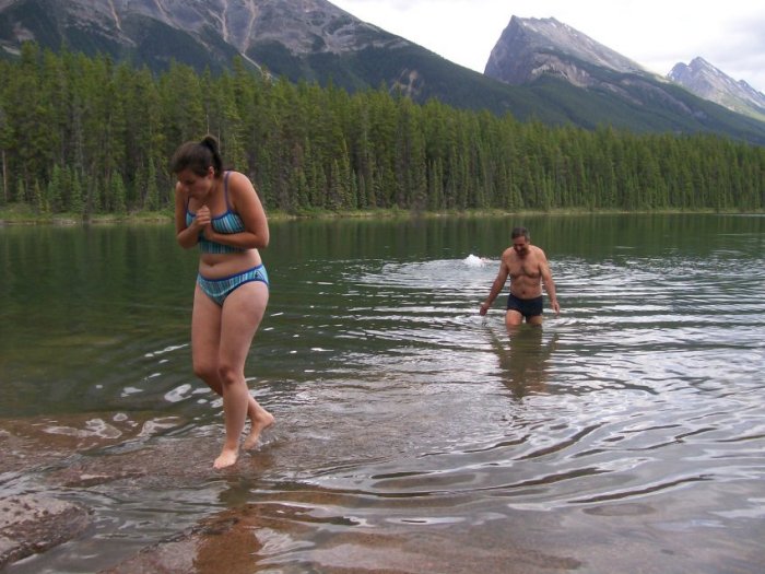
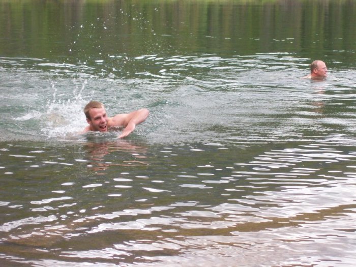
Once the setup is completed, we head to the lake for a dip.
The water is not that cold, but it is not that warm either.
And the champions are...
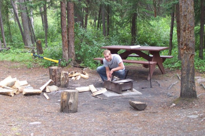
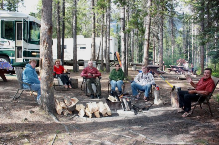
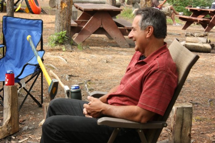
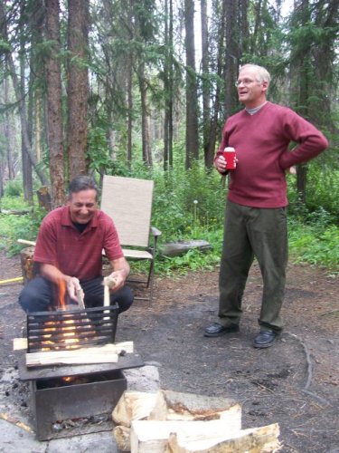
After a nice refreshing swim, time for a campfire.
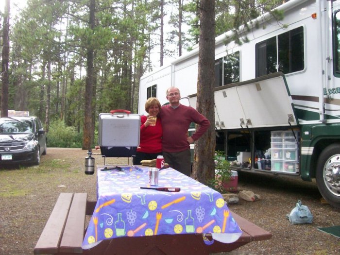
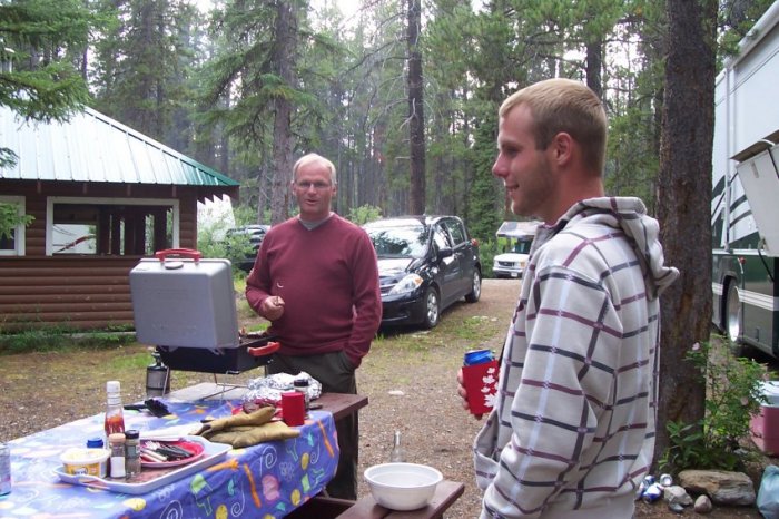
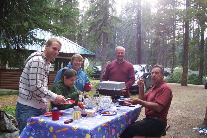
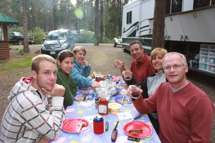
Here we are getting dinner ready!
Dinner time!
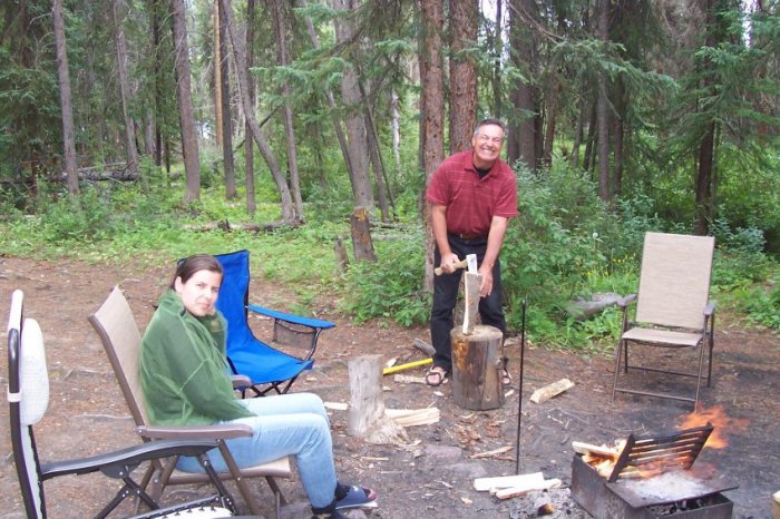
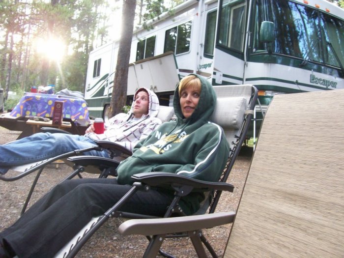
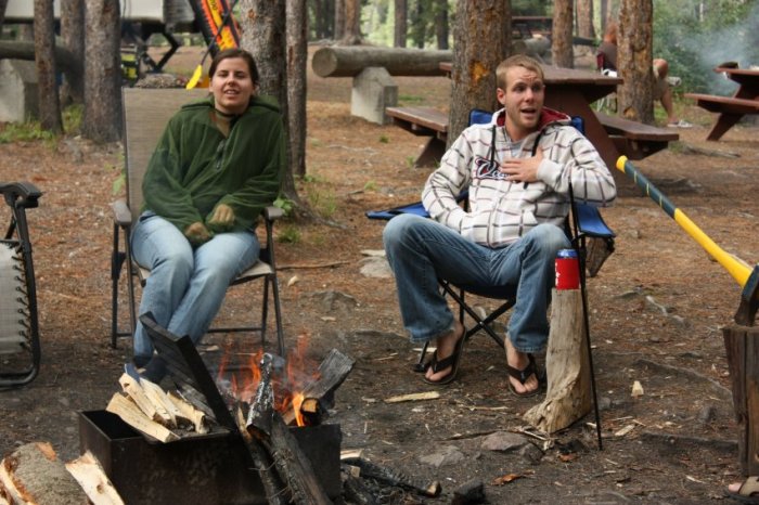
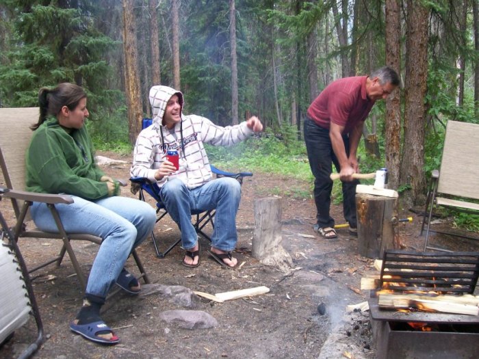
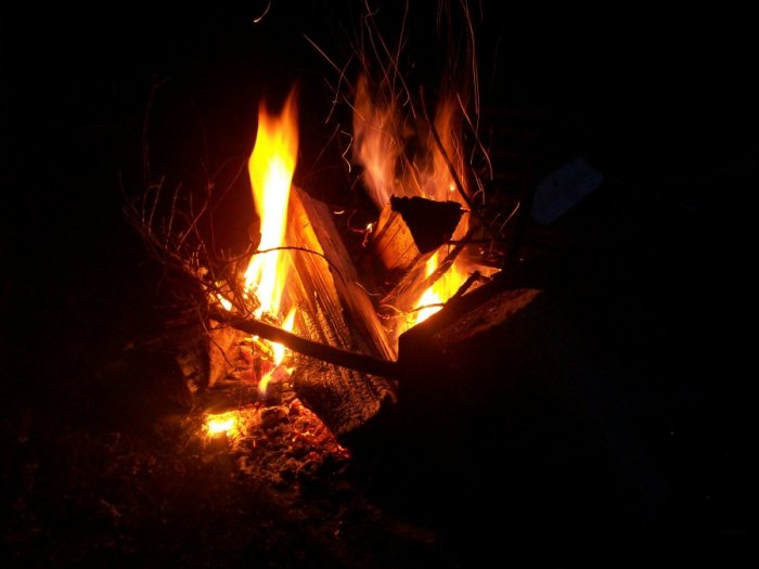
And we spend the evening at the fire.
I cannot remember what scared Jérémy, but Estelle's eyes are telling us a
lot!
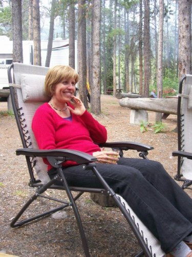
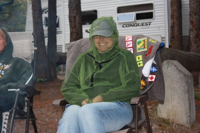
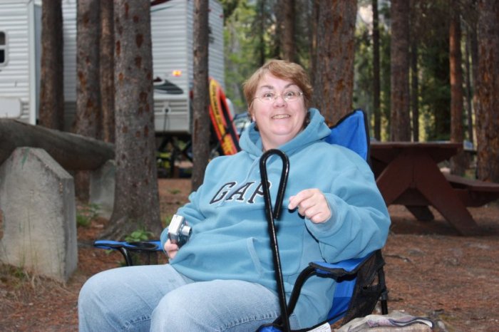
Some of the basic protection!
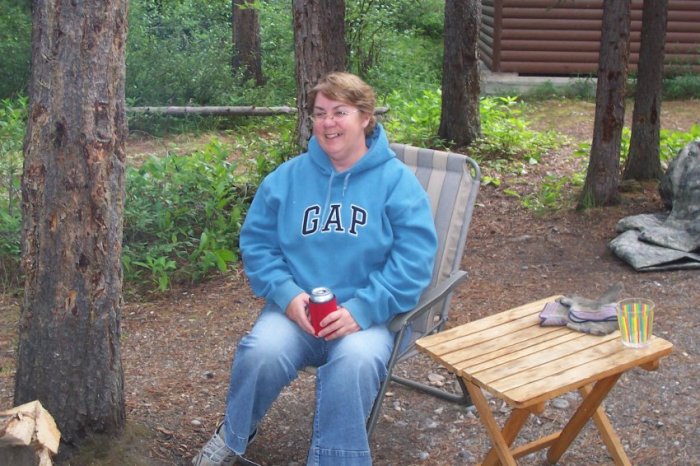
When around the fire, you got to have beer and tell stories...